Resources
Fanongonongo mei he Potungaue
Public Notice
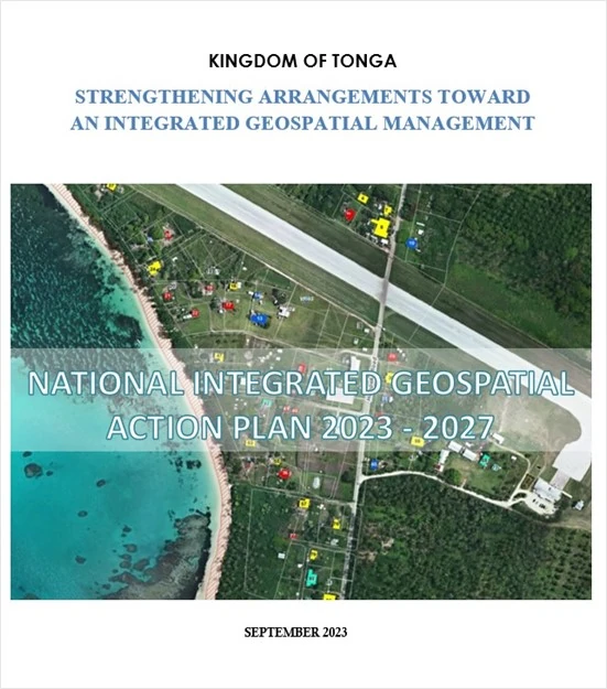
Official launching of the National Integrated Geospatial Action Plan 2023 - 2027
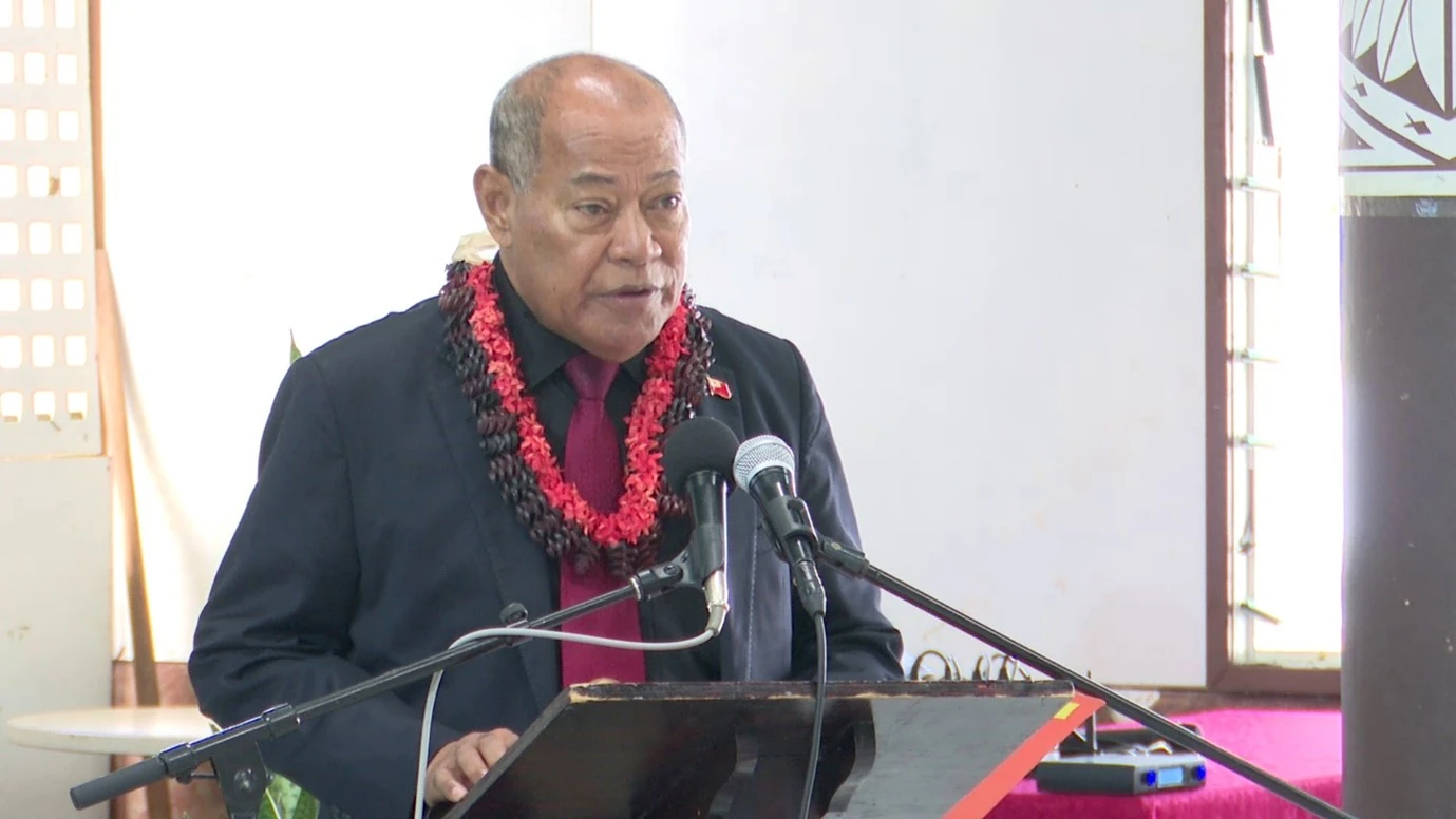
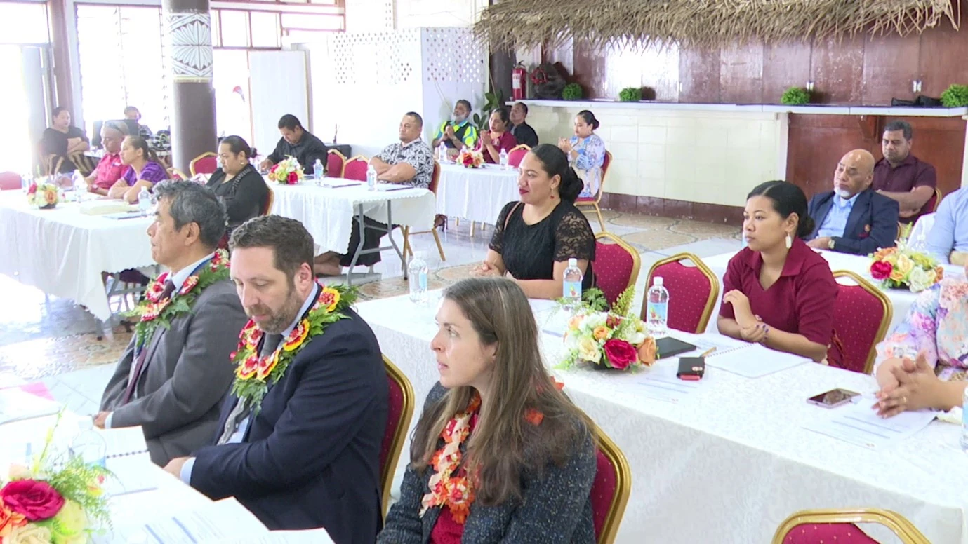
14th September 2023 - The National Integrated Geospatial Action Plan 2023 - 2027 prepared by the Ministry of Lands and Natural Resources was officially launched at Likualofa, Tofoa. Representatives from Government line Ministries and Boards, Non-Government Organizations, and Diplomatic corps attended the launching event where the Minister for Lands and Natural Resources, Hon. Lord Tuíafitu officially administered the transfer of the Action Plan to the Deputy Prime Minister of Tonga and Guest of Honor, Hon. Samiu Vaipulu.
The Action Plan aims to provide actions to support and strengthen Tonga’s geospatial information capabilities to aid in addressing some of the country’s pressing issues. The Vision of the NGAP "A quality of life for all Tongans supported by accessible, accurate, and reliable integrated geospatial information" was devised to align Tonga's national strategy, Tonga Strategy Development Framework II 2015-2025 (TSDF II), with the UN's overarching strategy, the Integrated Geospatial Integrated Framework (IGIF). The NGAP consists of 7 Goals and 9 Strategic Pathways centered on the following:
- Governance and Institutional Arrangements
- Policy and Legal
- Finance
- Data
- Innovation
- Standards
- Partnership
- Capacity and Education
- Communication and Engagement
Each of these pathways includes a list of actions for cross-government implementation. One or more agencies have been chosen to serve as the lead for each of the nine strategic pathways, with others serving as a committee to oversee implementation.
In his keynote address, the Deputy Prime Minister welcomes the National Integrated Geospatial Action Plan as a critical milestone in recognizing the value geospatial information brings to the Kingdom and a launchpad for improved use, management, and integration across government, business, and our citizens.
The NGAP was established as a result of a decision made at the Ninth session of the United Nations Committee of Experts on Global Geospatial Information Management (UNGGIM) in August 2019, in which six countries, including Tonga, were invited to use the United Nations Integrated Geospatial Information Framework (IGIF) as a mechanism to strengthen their national geospatial management and elevate geospatial information to support national development.