Programs
Va'a ki he Ngaahi Ngaue Faka-Savea
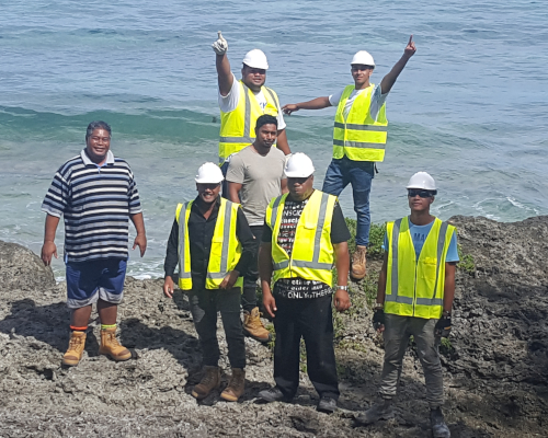
Surveying Services Division
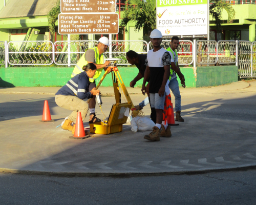
This division provides professional advice and technical support to most categories of surveys. They manage survey measurements related to boundaries and land use, as well as the physical dividing of town and tax allotments, modernization of the Tonga National Geospatial Reference System, Scheme plan and sub-dividing of town and tax allotments and develop the guidelines for topographic survey and for setting out and monitoring of all structural developments.
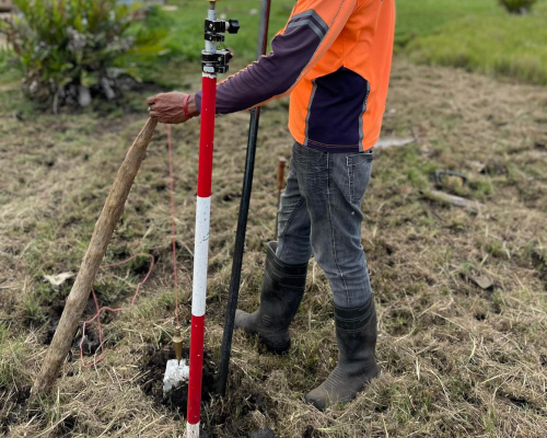
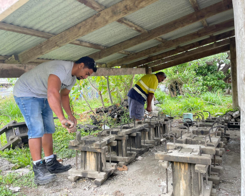
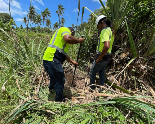
Cadastral Survey Section
Land boundaries and allotments are accurately demarcated and physically delineated.
+676 740 1318
cadastral@lands.gov.to
8:30AM - 4:30PM
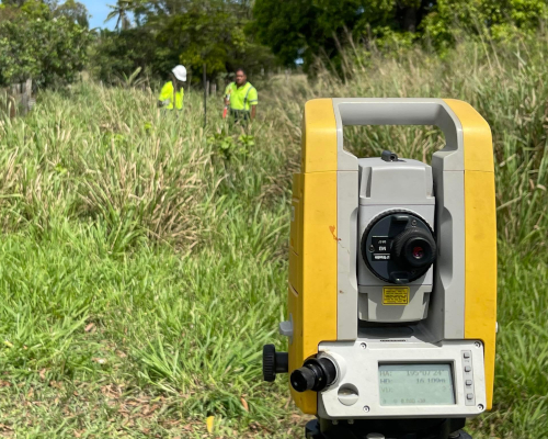
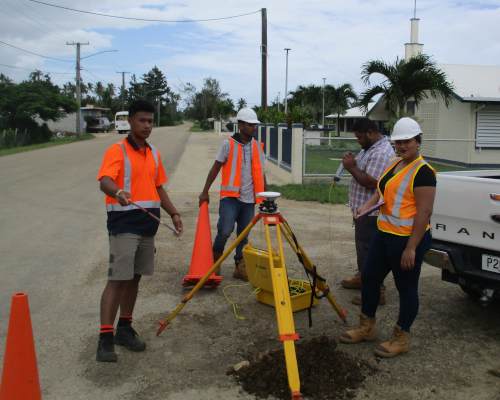
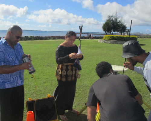
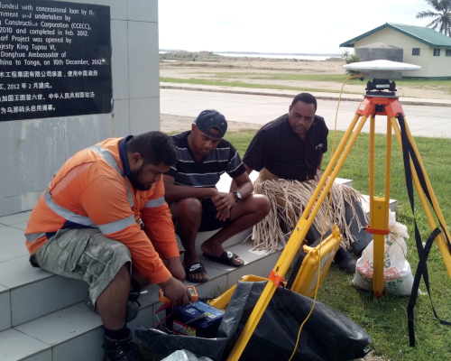
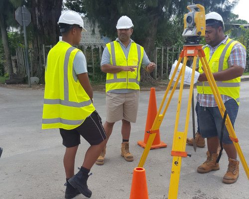
Geodetic Survey Section
Modernised National Positioning Infrastructure both horizontal and vertical to be accessible throughout the whole of Tonga.
+676 740 1322
geodetic@lands.gov.to
8:30AM - 4:30PM
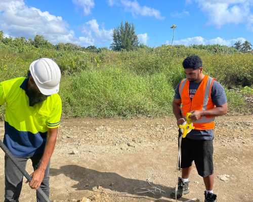
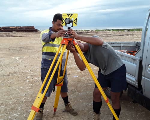
Sub-Division and Design Section
Efficient sub-dividing, scheming, and designing of lands for demarcation of allotments and planning purposes.
+676 740 1317
subdivision@lands.gov.to
8:30AM - 4:30PM