Programs
Va'a ki he Ngaahi Fakamatala Fakakelekele mo e Fakasiokalafi
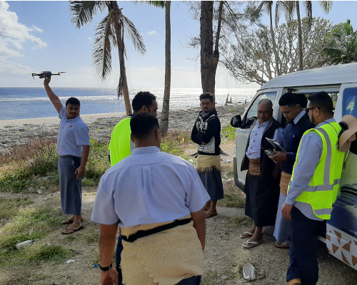
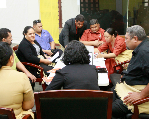
Land and Geographical Information Systems Division
Produce geospatial information to maximize sustainable decision making upon land and marine resources.
Mapping Section
This division is responsible for developing and maintaining an integrative platform for all paper-based and digital data that has a location dimension to it.
+676 740 1319
mapping@lands.gov.to
8:30AM - 4:30PM
Geographic Information Systems (GIS) Section
Cadastral information and mapping services are sustainably managed and provided.
+676 740 1320
gis@lands.gov.to
8:30AM - 4:30PM